Day 1: Cusco – Wallabamba
Starting at this point, we cross the bridge and walk along the left shore of the Urubamba River as it flows north-west along the Sacred Valley. Following the trail along a flat terrain, we arrive in Miskay (2,800m/9,184ft), to then ascend to the view of the Inca city of Llactapata (2,650m/8,692 ft). All along the way we will see spectacular views of the Vilcanota ridge on the opposite side of the Urubamba River, where we see the impressive Veronica peak (5,682m). We continue trekking along the valley gradually climbing for about five hours until we reach our first campsite in the Wallabamba village.
Day 2: Wallabamba – Warmiwañusca – Pacaymayo
We wake up at around 6:00 am, and after breakfast we leave Wallabamba (3,000 m/9,840 ft) behind to begin the most difficult part of the trek, which consists of an abrupt and steep ascent that stretches for 9 km. Along this climb, the landscape changes from sierra to puna (a dry and high area with little vegetation). On the way to the first mountain pass, the Abra Warmihuañusca means “Dead Woman’s Pass”(4,200m/13,776ft), we see domesticated llamas and alpacas grazing on ichu, one of the few plants that grow at that altitude. We also cross an area of the so called cloud forest, which is the habitat for many different kinds of birds like hummingbirds and sparrows and the Andean bear.
Day 3: Pacaymayo – Phuyupatamarka – Winaywayna
This day is the longest but also the most impressive and the most interesting, due the number of archaeological sites that we visit and learn about from our guide. From Pacaymayo we climb to the second pass, the Abra de Runkurakay (3970m/13022ft). Half way up, we visit the archaeological complex with the same name. This site, located at (3800m/12464ft), consists of a small oval structure that is believed to have served the purpose of a watchtower. After going over the pass, we descend towards Yanacocha (Black Lagoon) and enter the cloud-forest to finally arrive at Sayacmarca.
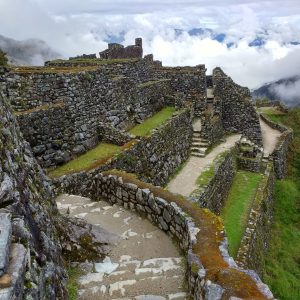
We go through an Inca tunnel to later arrive at the aforementioned pass and down to the complex of the same name. This is one of the most complete and best-preserved archaeological complexes along the Inca Trail to Machu Picchu, and is located on the highest point of a mountain. Phuyupatamarca means “Town of the Clouds”.
Wiñaywayna is an impressive complex made up of an agricultural center with numerous terraces, a religious sector and an urban sector. Wiñaywayna becomes the last official camp before Machu Picchu.
Day 4: Wiñaywayna – Macchu Picchu – Cusco
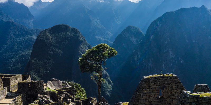
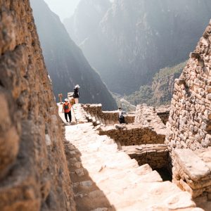
On this fourth and last day we get up at 4.00 am to leave Wiñaywayna an hour later and climb to Intipunku, or The Sun Gate (2700m/8829 ft). This will take an hour of hiking along a trail of flat stones on the edges of cliffs in highland jungle. From this fabulous spot, we may see the sunrise over the sacred citadel of Machu Picchu (2400m/7872 ft). From Intipunku we descend into Machu Picchu, and 40 minutes later we enter the citadel from the highest point through the “House of the Guardians”. We then descend to the control point where we register ourselves and leave our backpacks. We immediately begin a complete guided tour of the Inca citadel that will take approximately two hours, and includes the Main Plaza, the Royal Quarters, the Circular Tower, the Temple of the Three Windows, the Sacred Sun Dial.


